VANCOUVER — The B.C. government has announced $5 million in additional funding for Geoscience B.C. Over the past 10 years the non-profit organization has spearheaded more than 135 projects and generated earth-science data for more than half of the province.
Geoscience BC was established in 2005 through a $25-million government investment. Since then — and including the funding announced today — the province has provided more than $60 million to help mineral and energy geoscience initiatives.

“The availability of credible, public geoscience information gives B.C. a competitive advantage over other jurisdictions.”
Bill Bennett
B.C. MINISTER OF ENERGY AND MINES
Last year Geoscience BC completed a $2.4-million geophysical survey under its Search project that covered over 6,700 sq. km through Kitimat, Terrace and Smithers. Next the organization will launch its “largest airborne magnetic survey to date.” The Search II project will cover a 24,000 sq. km grid that extends north to Pathway Lake, south to Ootsa Lake and east–west from Fort Fraser to Smithers.
The area hosts the former Bell-Granisle porphyry copper-gold mines and Thompson Creek Metals’ (TSX: TCM; NYSE: TC) idled Endako mine. Just beyond the survey’s extent are New Gold’s (TSX: NGD; NYSE-MKT: NGD) Blackwater gold project and Imperial Metals’ (TSX: III) Huckleberry copper mine.
“[Search II] represents a new generation of airborne magnetic survey,” Geoscience B.C. vice-president Bruce Madu stated. “The line spacing we will fly will be much tighter than in previous surveys of this scale, providing a data resolution that is much more detailed and accurate.”
He added that the survey is a “key piece of the puzzle that will bridge the gap between the search phase-one geophysical survey completed last year and the TREK survey in 2013. Together, these three adjoining projects will provide a continuous modern survey of high-quality, magnetic data covering a 55,500 sq. km area — equivalent to the size of Nova Scotia.”
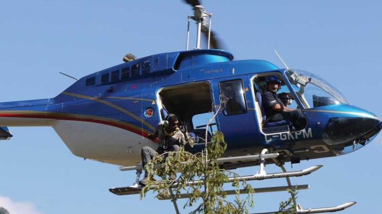
Search II will feature an aircraft equipped with a “sensitive magnetometer” over the survey area in a predetermined grid pattern. The instrument detects and records local disturbances in the earth’s magnetic field that are caused by magnetic minerals in the upper regions of the earth’s crust. These magnetic signatures are plotted on multi-hued maps that explorers use to plan their ground activity.
“The funding provided to Geoscience BC represents an investment in the future prosperity of the province,” Minister of Energy and Mines Bill Bennett said. “The availability of credible, public geoscience information gives B.C. a competitive advantage over other jurisdictions in attracting investment to the province, so we can continue to create well-paying jobs and grow the economy.”


Be the first to comment on "Geoscience BC receives $5M from provincial government"